Satellites pass
Wide coverage, but a fixed revisit. Your area is seen minutes at a time, when the orbit allows.
01Persistent coverage for science, civil and defence. In development.
Design targets. Platform in development.
Wide coverage, but a fixed revisit. Your area is seen minutes at a time, when the orbit allows.
01Detail and presence, but limited endurance, crews on board, and grounded by weather and airspace.
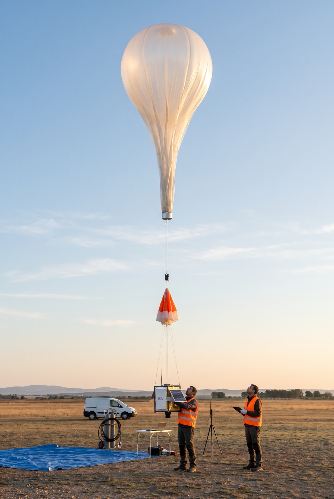
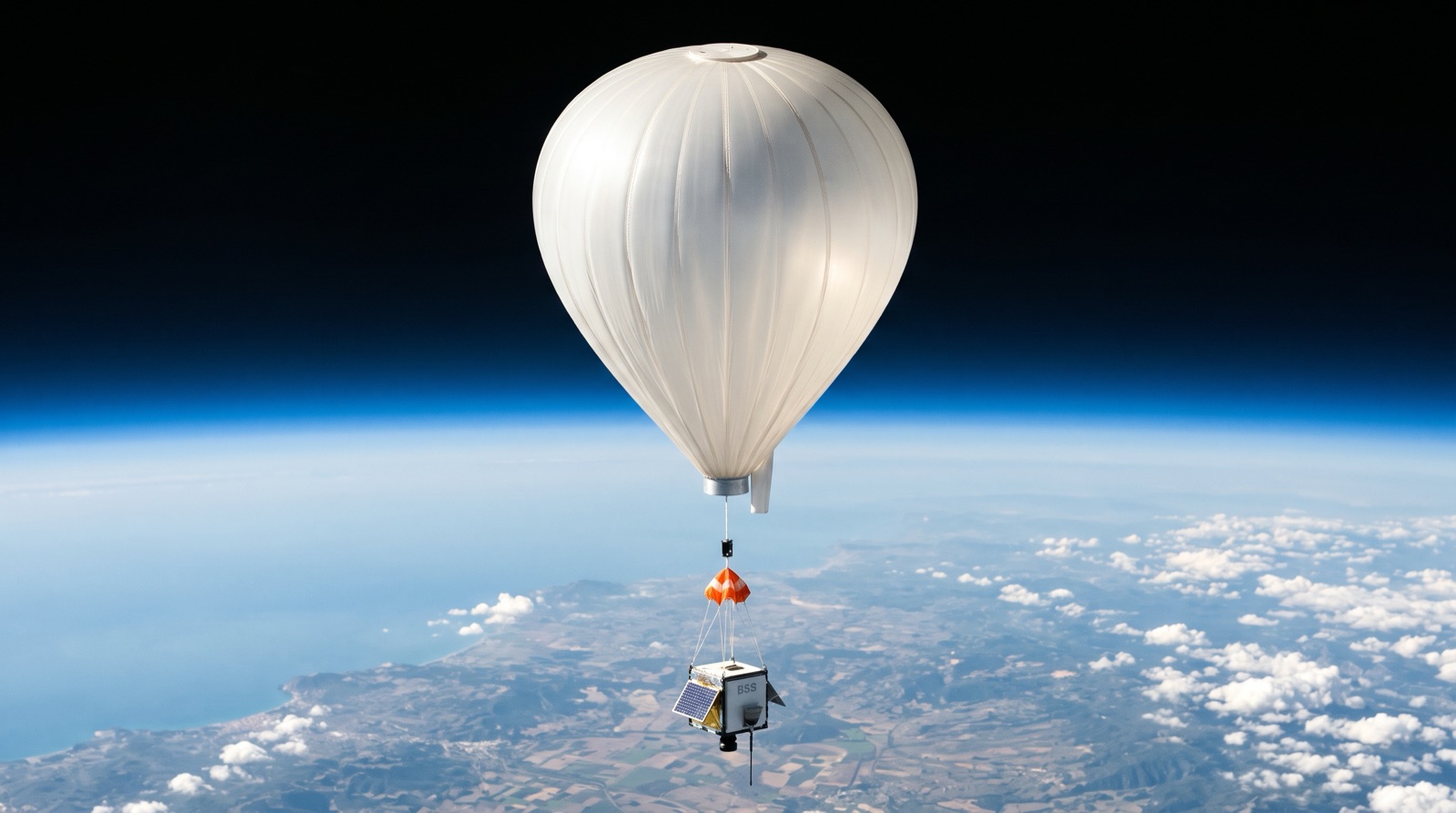
02We are designing stratospheric platforms to hold position over your area for hours to weeks, in the gap between the two.
03Our approach steers by altitude, choosing the wind layer that keeps the platform over your area. A simulator built on atmospheric models and live flight data is in development.
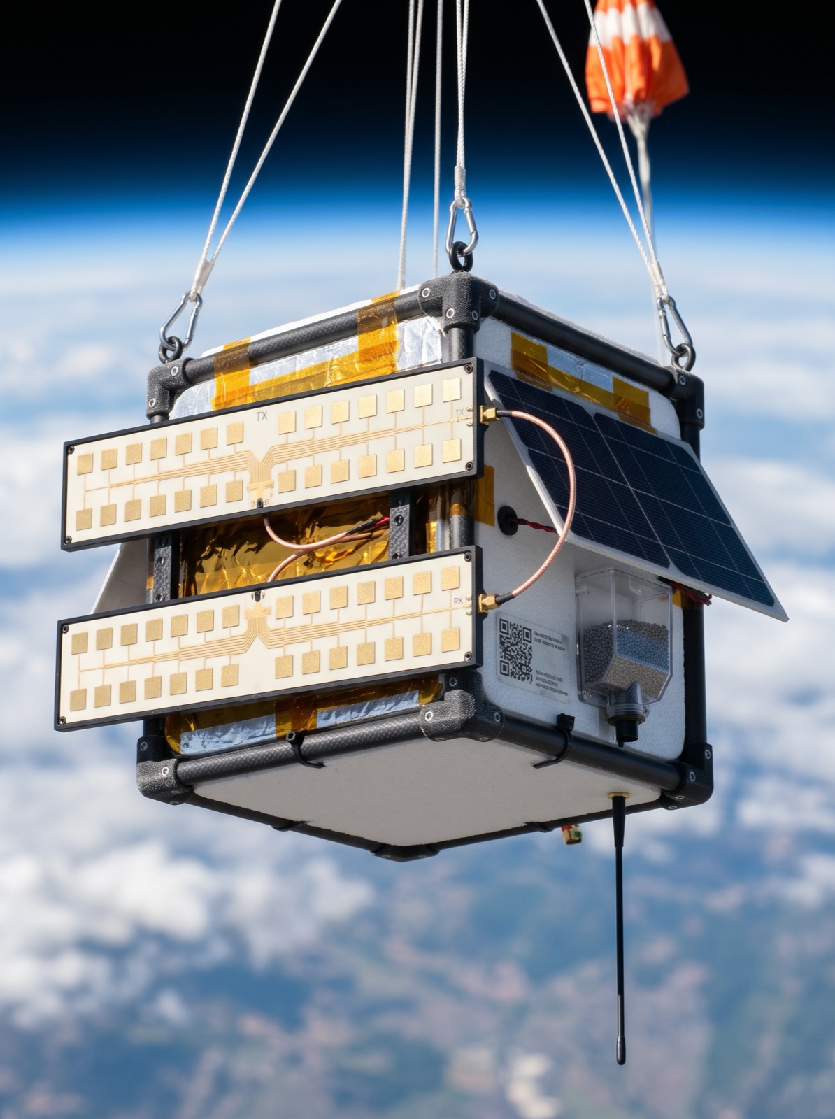
The target design is a modular 4 kg payload that takes either an optical camera or microSAR, so one platform serves different missions.
Customers will pay per hour of coverage and per km², not per flight. We plan to carry the flight risk and the logistics.
Draw your area, choose coverage hours, pick optical (day, high detail) or microSAR (day, night, through cloud).
We will handle airspace and the flight plan, launch, climb above weather and traffic, and hold over your area by altitude control.
We plan to deliver quicklooks during the flight and the full data set within days. Pay per hour of coverage and per km².
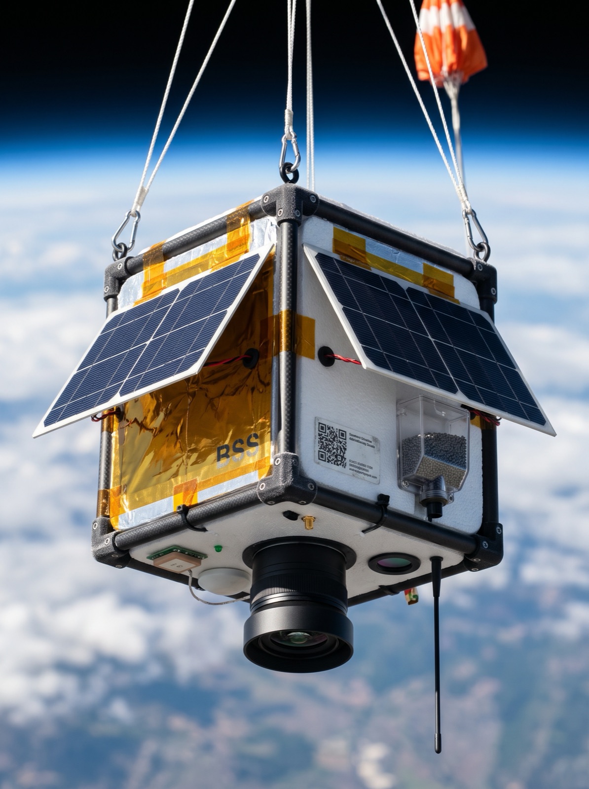
A gimbaled camera is designed to keep the target in view while the platform drifts, so one flight covers more time on target.
Day · High detailRadar is designed to see through cloud and at night, for monitoring when optical imagery is blocked.
Day & night · All-weatherTarget design: 4 kg gondola with a common bus. Mass and power figures are sizing estimates.
Planned continuous watch over a fire front or a flood zone, when satellites are not frequent enough.
Learn more →Planned persistent monitoring of coastlines, borders and spill areas.
Learn more →Temporary coverage over an area while a network is restored.
Learn more →Planned near-space flights to qualify components at low pressure and −60 °C.
Learn more →We will place launches away from airport control zones and airways, and the platform will float above airliner levels. Flight requests will go to the aviation authority (AESA) and the air navigation provider (ENAIRE). A notice to airmen is published for each flight, and live GNSS tracking is shared throughout.